Digital Twin:
360° 3D panoramic views
integrated into your maps
![]()
Panoramic images are the ideal complement to the overview via map: Offer users detailed insights into your building and terrain – and bring your spaces to life digitally!

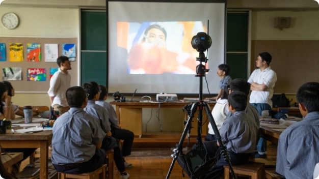
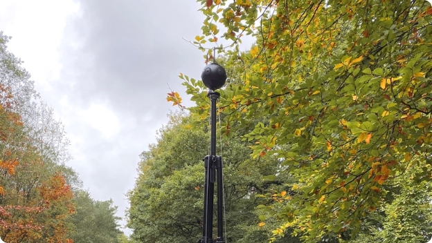
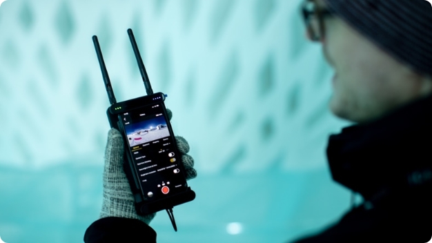
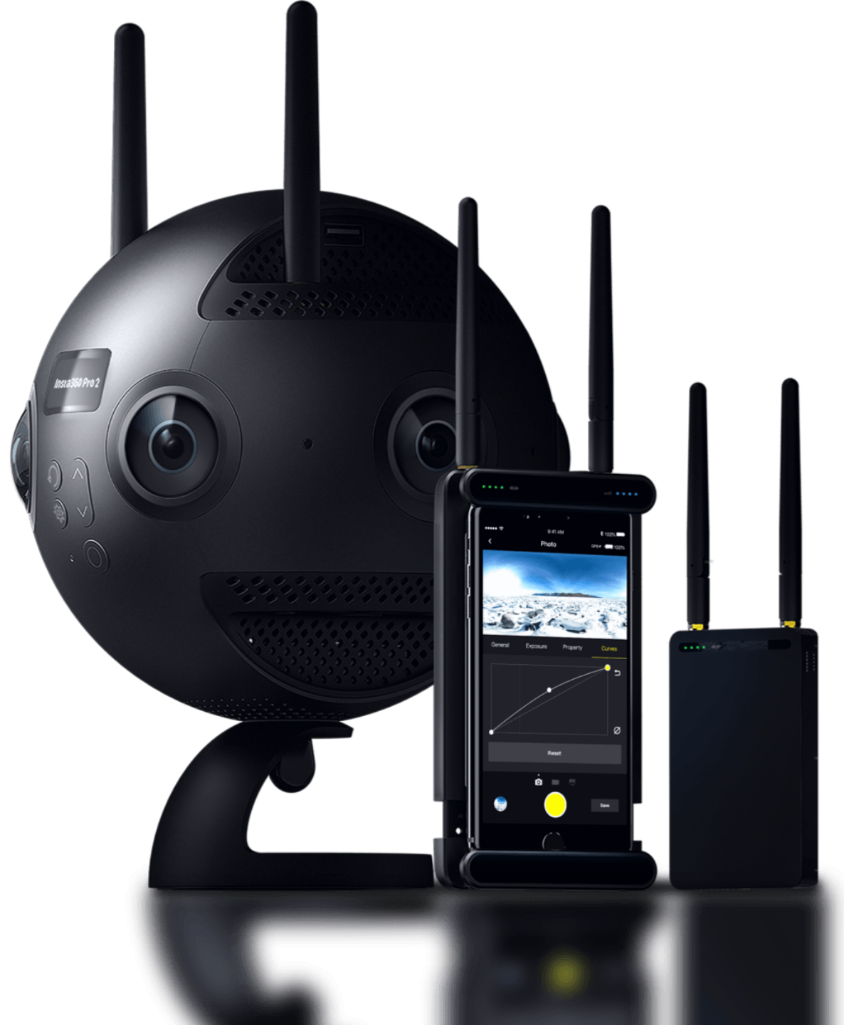
360° Photo & Video
Razor sharp in 8K
3D VR display
Indoor and Outdoor
Location-based
Your advantages in an overview
Interactive maps: Make orientation easier for visitors! Show panoramas directly accessible at the exact locations on your map.
Free perspective choice: You decide where and what is displayed: Views from inside or outside, existing images or completely new shots.
3D tours: Allow interested people to discover your location virtually. With 3D tours you attract interest and motivate to visit.
Plan arrivals: Guests can plan their arrival and visit beforehand in detail. So they can find their way around immediately after arrival.
Support accessibility: Thanks to the 360° images, disabled people can see the conditions on site – for a visit without obstacles and waiting times.
Reduce search: Give your guests and employees a lifelike building image so they can find what they’re looking for faster.
Accurate documentation: More transparency and traceability: Record inventory locations and changes on your site graphically.
Improved marketing: Present your building in the best possible way and find interested parties for your property more quickly.
Highest data privacy: You retain the rights to your panoramic images. Anonymization and an access system ensure GDPR compliance.
The perfect shot
![]()
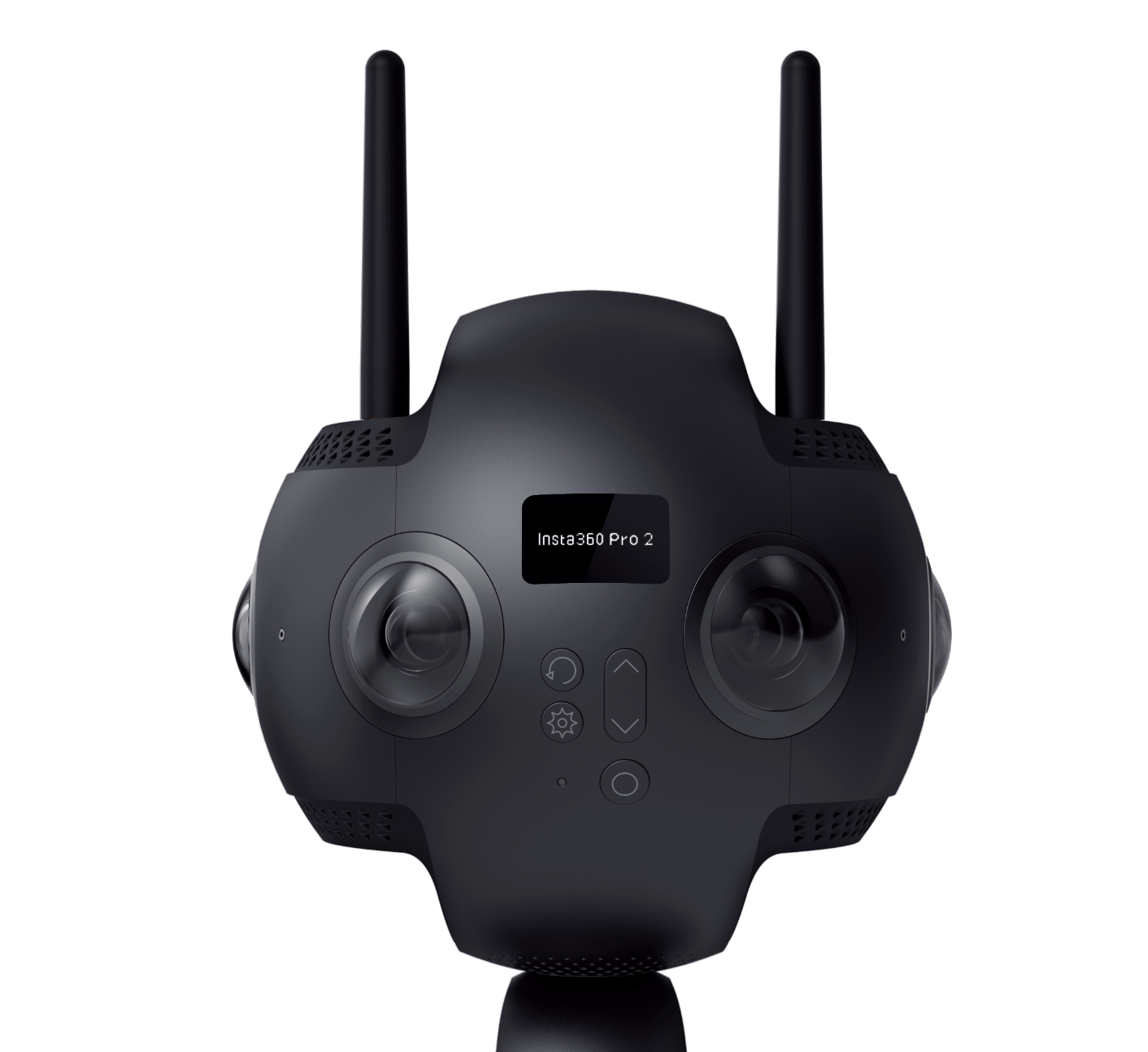
Want to add panoramic media to your maps? Nothing could be easier! Our contagt team or one of our partners will create the shots for you.
360° panoramic photos and videos
Highest picture quality in HDR and 8K resolution
2D and 3D image and video capture
Location and linking on your maps
Playback with Wow-effect
![]()
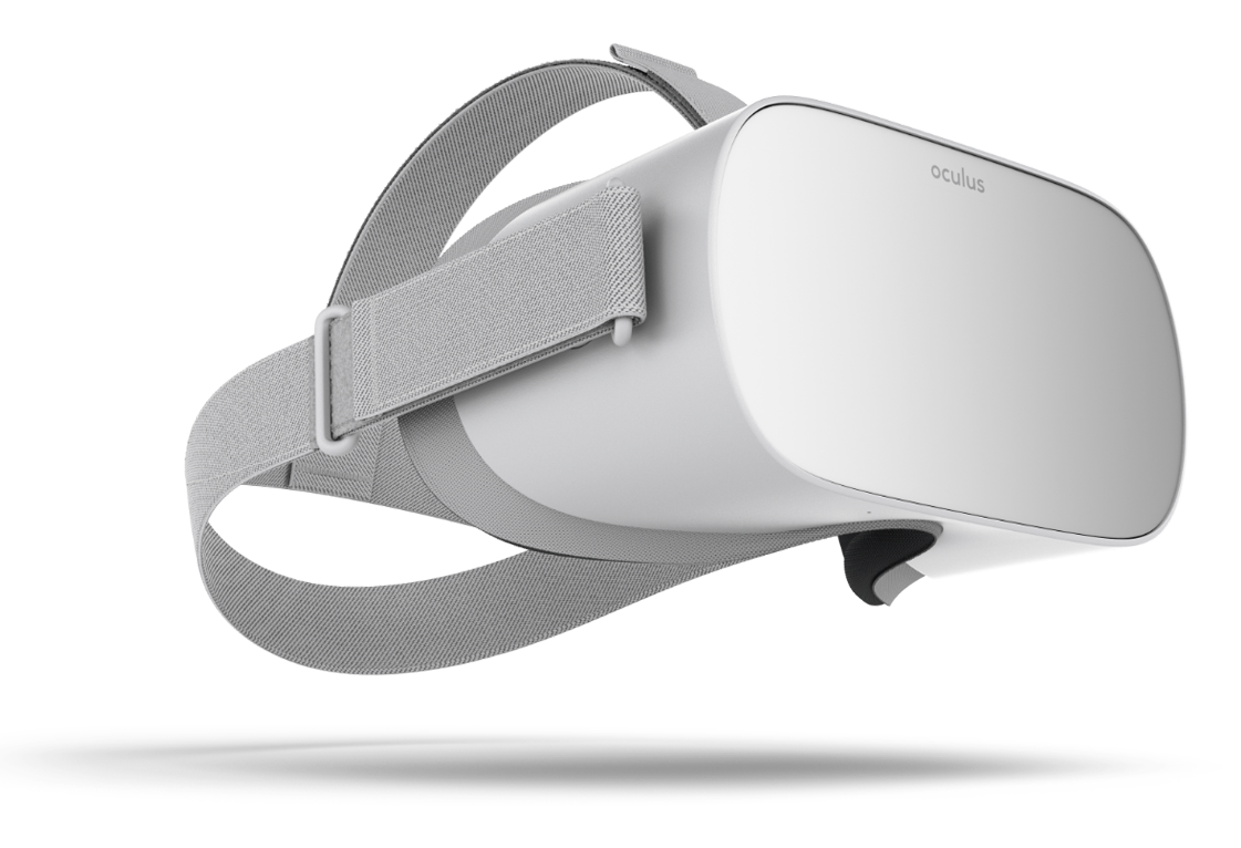
The 360° material obtained can be viewed in a variety of ways – even as virtual reality (VR). Let yourself be fascinated by the possibilities!
Mobile and stationary (app and web-based)
VR viewing via headset or smartphone
Location-based playback (e.g. for city tours)
Embedding georeferenced markers

